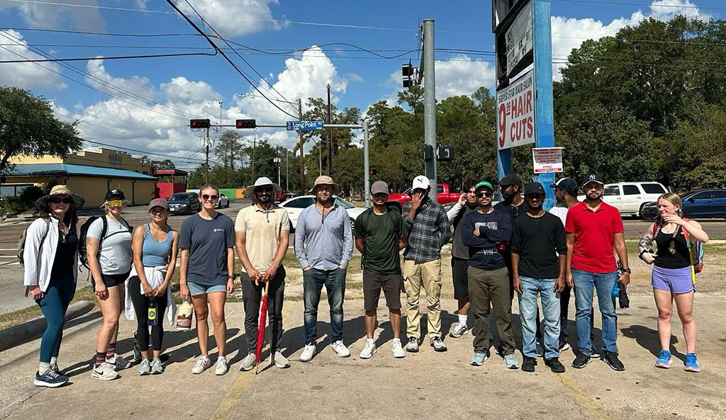
Students Explore Fault Mechanics, Relationship Between Faulting and Subsidence, and See Impact of Faulting on Urban Infrastructure
The Long Point Fault, one of Houston’s most active urban faults, is part of a complex system of normal growth faults along the Texas Gulf Coast. Particularly active from the 1950s to the 1990s, the fault caused significant damage to local infrastructure, making it a living laboratory for urban geologic hazards and field monitoring.

Each semester, Professor Guoquan (Bob) Wang leads students in the University of Houston’s Department of Earth and Atmospheric Sciences on a one-day field trip to the Long Point Fault. The field trip is part of his courses: GEOL3320/6991 Introduction to Geophysics, GEOL4332/6323 Geoscience Applications of GPS and LiDAR, and GEOL6324 Satellite Positioning and GPS Geodesy. This excursion offers an unparalleled opportunity to connect classroom knowledge with real-world geoscience.
Since 2013, UH has operated a dense GPS array along the fault to monitor its activity. This GPS array is part of the Houston GPS Network (HoustonNet), which comprises approximately 300 permanent GPS stations for monitoring subsidence and faulting throughout the Greater Houston region.
During the trip, students explore fault mechanics, the relationship between faulting and subsidence, and the connection between land subsidence and groundwater pumping. They also study the impact of faulting on urban infrastructure and urban development.

Additionally, the students gain hands-on experience with GPS instrumentation, interpret airborne LiDAR mapping data, and discuss urban hazard risks, including the implications of faulting and subsidence on real estate and urban planning.
The field trip’s highlight is a 10-mile trek along the fault line, a physically demanding but rewarding challenge. Along the way, students frequently cross the fault line between the footwall and hanging wall sides. Spirited discussions often extend beyond GPS monitoring and faulting mechanisms covered in class.
Students are particularly curious about practical topics, such as identifying the safest and most affordable areas to buy a house in Houston, evaluating the safety of their own neighborhoods, exploring careers in real estate or consulting to guide homebuyers, understanding hazard insurance, managing groundwater resources, and estimating job opportunities related to GPS, LiDAR, and urban hazards. These real-world questions make the field trip both engaging and highly relevant to students’ lives and future aspirations.
Despite its rigor, students consistently praise the trip as a highlight of the semester. It exemplifies experiential learning, fostering a deeper understanding of geologic processes and inspiring careers in urban geoscience and hazard mitigation.